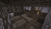
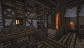
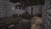
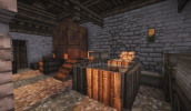
Hey to you both!
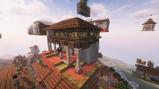
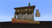
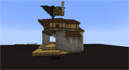
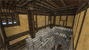
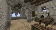
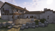
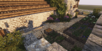
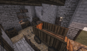
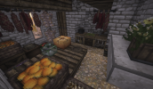
While I've worked a lot with Crispen on this inn, I do prefer the design done by Alex and WRMD. It was a close pick between the two and there are still some things which I think Crispen's does right that could be fixed in the Alex and WRMD version.
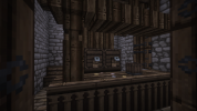
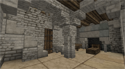
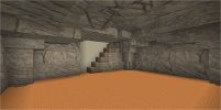
Love the ground floor and the shape of the cellar underneath!
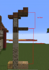
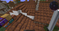
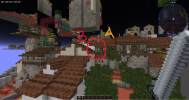
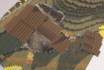
However, with the shape of the plot I'd gone back and forth Crispen and ultimately decided to keep the angled shape of the northern side (see below) This can be done on just the top floor imo, as the lower floor could be covered by the journeyman's lodging roof.
I think this, or a version of this kind of angled plot helps give more depth to the meeting point between plots A and B. Even if just one or two blocks are inset it'd help make the connection point more visually interesting.
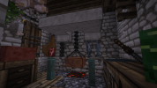
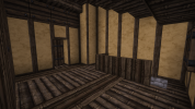
Also as Crispen notes I really liked the idea of most inn occupants sleeping on simple beds in the same room. maybe 3 or 4 beds. I do like the idea of having 1 nicer room for a higher status guest but most of them sleeping comfortably enough in the same room would be a bit more fun too.
If you're okay with those changes I can paste it in whenever.


