Well, the
Deccan Plateau, specifically the
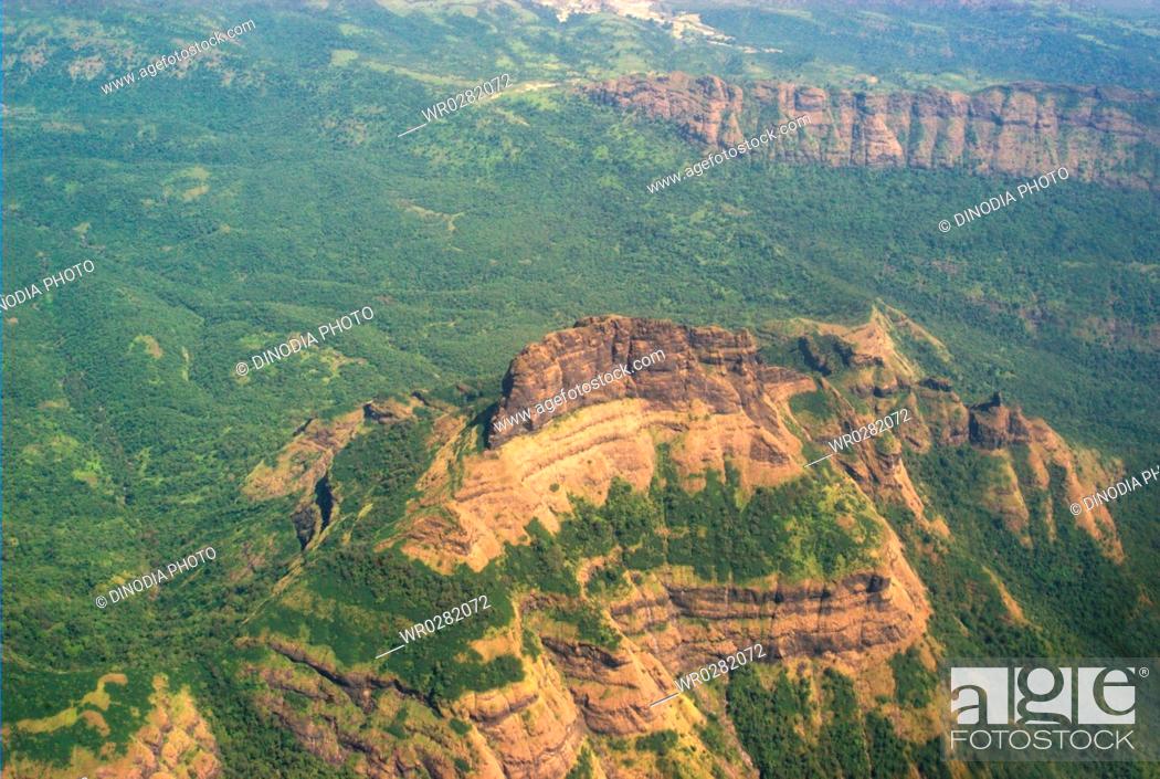
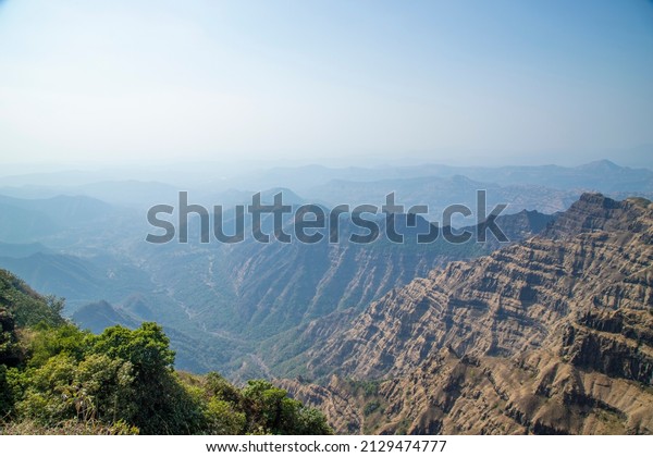
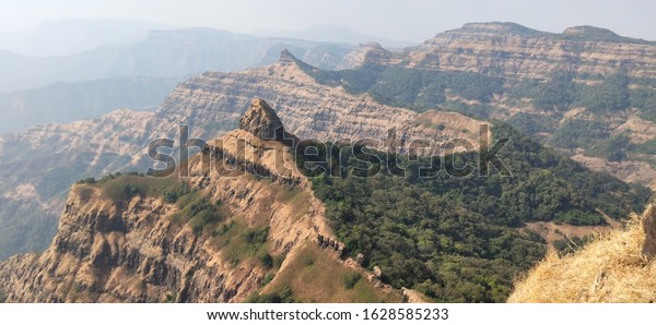
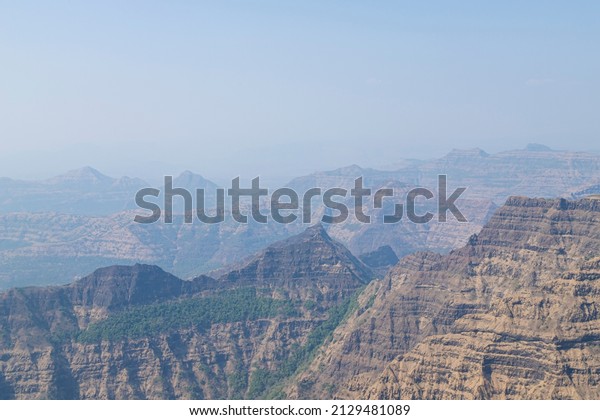
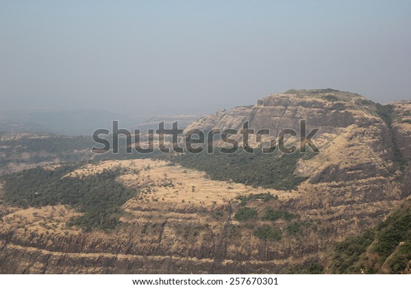
Deccan Traps, have a very specific geological history, as far as I know. It is theorised that a series of really strong and continous lava flows generated its characteristic striations. Eruptions that took place on a relatively short period of time (300.000 years to a few million years) and around 67 to 63 million years ago. The result was a vast series of basalt (igneous rock that forms on surface level) and granite (igneous rock that forms under compression) highlands shaped mainly by erosion and, to some degree, orogeny. The landscape, due to the rock type and the layering, features a series of step-like hillsides, as well as rounded slopes and flat tops, for the most part.
View attachment 12473View attachment 12472View attachment 12470View attachment 12469
View attachment 12471
The Deccan Traps are that big purple patch in the middle of India
IMO the Red Mountains seem to be the result of a more traditional orogeny (like the Alps, the Himalayas or the Andes, all younger than the Deccan Traps), something that at least would've shifted the direction of the layers, if not break them.That been said, I dont see why we wouldn't be able to implement something like this on some areas of the Stormlands. I personally see the region as having some kind of notable volcanic activity (past and/or present), been close-ish to the known active volcanoes (Dragonstone) and having mentions of black basalt castles (rock that is the main one in the Deccan). On that same line, I can see extint volcanoes like the ones in
Olot as an interesting feature of the region.
I think it is worth metioning that, accidentally or not, Lonmouth and other projects like Felwood have incorporated into their terrain features that resemble some of those seen at the Deccan.
TO SUM UP: Yes, the pattern is realistic, but it requires a series of specific geological events that would've shaped the landscape on quite a specific way. It is on us to decide if we go that route and to what extent. Also I'm not a geologist, so my knowledge is limited to non-academic publications and documentaries I saw on the area.


.jpeg")