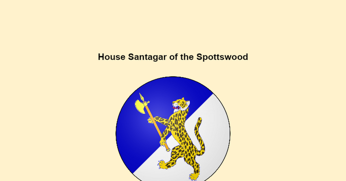
Hey guys! First of all sorry for the long wait hahahaha, life sometimes gets on the way and I didn't want to reply to this with a poorly thought-out post, so I had to wait ti'll I had a good chunk of free time to dedicate to it. We've been talking a bit about the project for a while now, so I think it is safe to say that the general vision is something I'm happy with! This is a very nice app and it shows work and thought has been put into it! I will now give you both more specific FB to polish it. It may seem like a lot but you'll see most points are pretty minor changes, I just like to be very nitpicky, more so with my loved Dorne.
General plans
Overall really nice! I have little to say, mostly stuff that would be better to decide in site with proper scale in mind. Regarding the work flow you plan to have,
rather than doing all of the terra at once, I think it is best to do it in stages, in case that isn't what was planned from the start. I think the structure of the lands of Spottswood allows for that nicely, as one can do 1 finger at a time. This is mostly to avoid big placeholder patches to take over the map for ages, and it is something we are trying to encourage more in general.
There is a
river at your plans, though I would call it a stream.
It should probably be dried up as we are at the late stages of summer and small streams and even decently sized rivers dry up in summer in Mediterranean ambients, like Spottswood is. There's a couple of dried up river beds you can take as a reference both in the main map and lost around on the test world. Jake has made a couple really nice tests if you want to check them.
I'll leave here some inspo as well.
Making the river dried up may mean some changes in the way you plan the crops and irrigated areas within the main valley. I suggest rather than using a canal coming from the stream, which would be an unreliable source for water, you
use qanats or groundwater to irrigate the crops. Qanats are widely used in The Tor, if you need an in-game reference. Also make sure the irrigation channels have an output! I'd say they can feed onto the river for the water discharge.
This all will be easier to plan in production. Btw I think it is worth mentioning that while irrigation is needed for certain crops like fruit trees and some vegetables, this area would be able to sustain dryland farming for stuff like wheat, olives or wineyards. Another thing regarding crops is the
use of terraces! I think they can fit nicely here. Once again that is something that can be more easily planned once you start the project. I also leave here a
irrigation ditch for reference (this is part of a system here in southern Spain that dates back from muslim times, so it fits perfectly!).
View attachment 18163
Terraforming
Overall good job with the tests and plans! As Aeks pointed out
greenifying a little bit more the southern slopes of the fingers would be ideal, as they would be hit with the storms going north through the Stepstones. In general don't be afraid to greenify, all of eastern Dorne is meant to go under that process eventually. You have a buffer dune desert terra area planned, which makes sense as a temporary solution, but be aware that eventually the desert bordering your project will be gone (there is a small desert/dune patch between Sunspear and Ghost Hill/the Greenblood, but that would not affect this area). So
feel free to extend the greenified area further west up to the dynmap border.
This means having more of the "dusty" terrain as well as potentially expanding the green areas of the valleys. Also, as I've mentioned before, Grey Gallows is a great example of a dry Mediterranean landscape, on top of looking at The Tor/Ghost Hill for reference. It's okay if you add some bushes sprinkled around on this terrain on top of the grass patches you already have: palmito, thyme, rosemary, oleander, lavander... Here is some reference pics for that landscape, it falls between what you labelled as "arable" and "dusty":
View attachment 18164View attachment 18166
You should remove most of the flowers at your green terra tests. Once again, we are at the end of summer and most flowers wouldn't be around. You can leave some flowering bushes like Oleander as they do flower in late summer, but most of the 1 block flowers should go. You can keep the reddish northern flowers you have used at the cliff tests, those add an interesting look. Also from an aesthetic POV I think having too many types of flowers looks odd, as there's a seemingly random combination of colours that doesn't really go together.
Regarding the tree schems, it seems like you are planning on
using cypresses as part of the forests. Don't, they would be planted by humans. They can be part of gardens, farm edges... but not the forests, it looks a bit odd IMO. Respecting the sandbeggars, I saw you are thinking of trying alternative schems for them. I agree on that, as I think our sandbeggar schems look a bit dated.
I'd say we can use this project as an excuse to make a new sandbeggar schem. Perhaps
argan trees can be a good reference? We'll see, I'll try to give it a try, or yourself if you want to. Having said that, I leave here some Mediterranean pine forests as reference for the forested terra:
1,
2.
The town
Looks like you are going to use the façades of the houses at the town as part of the wall, right? If so that is a great idea, and fits really nicely! The town looks significantly smaller than The Tor's, so I'd say
don't make the walls too big, thick or prominent, more like something between Tor's town and /warp torhamlet3. Also
make sure to warp the wall around the whole town, right now the sea side is open.
Another suggestion I have regarding the town is to
have a beach port instead of some docks. In general we don't use these enough and they would be the most common type of port. Basically just a beach were ships will dock, right by the walls of the town.
Something else that might be worth considering is
its style. While it is nice overall and does follow the path layed down by The Tor, I think given its location it is worth trying something different, more influenced by andalusi/magrebi housing and planning. Here I have some references for layout and general shape. I think this is best to try and tackle while we are all online, so make sure to hit me up on disc and we can set a time to try and test it a little. As of right now I have most mornings free, so that is an option we can take.
View attachment 18168View attachment 18169
The castle
If any changes are done do not make it any bigger, house Santagar is a landed kight and as of right now the size of the castle is already pushing what we consider appropiate for it.
I'd remove most if not all of the pebble layers that you have put at the roofs of the castle, I think it makes it look busy and also if those areas are on use they would be somewhat cleaned. You can have some small piles of pebbles at corners ocassionally, if you so desire. I assume you are doing it to cover the odd changes of material at the ceiling below, I think it might be worth to add a block in height to house the floor material for the roofs rather than covering with pebbles.
This tower right here has a pretty odd shape, I'd say you should rework it and make it have a regular shape (rectangle, square... it can be diagonal ofc, but a regular polygon).
For the same reason this tile roof here should be reworked, perhaps it is just easier to make it a flat roof.
View attachment 18170View attachment 18171
I think you need to make your main tower more prominent, as well as have it be a single body instead of a series of towers glued together at different levels. Visual hierarchy helps a lot when making castles, so IMO it is appropiate to give a bit more promenance to the main keep. You know I was more fond of the version of the current castle with a big square tower, you don't have to go back to that but something on that line might be it.
Still not sold on the onion dome turrets, I would not make them onion domes, and perhaps remove one of them so the castle courtyard is a bit less busy.
I'd would remove the salt pans too. They can be elswhere in the project but beneath the castle I think makes it look like there's too many ideas in one spot.
Also remove the palms at the cliffs, they won't grow there and also they are really thin for their size. Palm trunks are thin but not that thin. I'd say a fence post can be warped with both your hands but a palm tree trunk of that size wouldn't.
Here is some cliff vegetation in case you need references.
Canon
Don't worry, you didn't miss anything, these are just suggestions I make based on what we know for the area. Given the fact that fishing villages were prominent in eastern Dorne at the early stages of the First Men colonization, it could be interesting to have fishing and fishing-related stuff be prominent in Spottswood. You have a couple fishing hamlets, but what about tuna fishing with
almadrabas? Or perhaps
escabeche making? You have all the ingredients in the area for it, it would be I think a great addition!
Also, as you may know there is a couple (a dozen or so) canon First Men houses that lived in the Greenblood and eastern Dorne before the arrival of the Andals. Some of those were wiped out by them, but not all, so it could be interesting if one of the few we know was/is located somewhere in this project, either alive as a landed knight or as the remains of their old fortifications/castle. Here is the canon I'm referencing:
As you see we know three of these were wiped out at one point, but we don't know which ones, so we can use that information at our will. It is also worth metioning how these houses have names tied to the location they come from, that hint how it could look.
We also know that on top of the 3 unknown wiped out houses the Wades and the Shells were conquered by the Martell, and most likely wiped out too.
We also know that the Martells at some point were under the rule of some of these First Men houses, which could mean that some are still alive as minor knights, as the Andal conquest does not wiped them out (the Martells can't be under them at any point if they were wiped out at the time of the Andal conquest).
With all this in mind I'd say perhaps house Holt was/is located near or around what today are Spottswood lands, as "holt" can mean a
small wooded area or hill. You can do with that info what you see fitting, the possibilities are endless!
I know, this is a lot of text hahaha, but it is mostly me trying to explain myself, I'm still very happy for seeing both of you apply for this location with such enthusiasm and great plans!


 docs.google.com


.png")


